Understanding Drone Photography
Drone photography has transformed the way we capture images, offering a unique perspective that traditional photography simply cannot achieve. By utilizing UAV technology, we can access hard-to-reach locations and capture stunning aerial images that showcase landscapes, architecture, and events from above. The integration of aerial imaging techniques allows photographers to create breathtaking visuals that tell a story and evoke emotion.
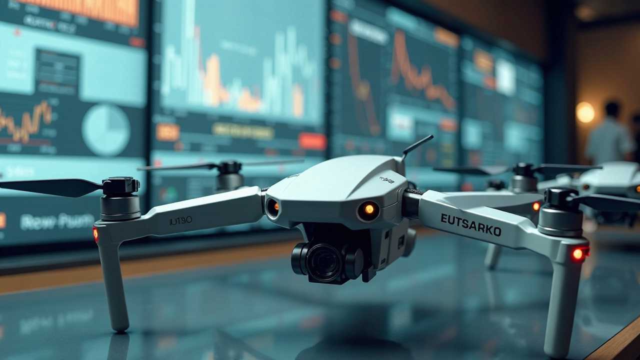
The Role of UAV Technology in Drone Photography
UAV technology is at the heart of modern drone photography. These unmanned aerial vehicles are equipped with advanced cameras and sensors that enable high-resolution image capture. The ability to fly at various altitudes and angles provides photographers with unparalleled flexibility. This technology has made it possible to shoot everything from sweeping landscapes to intricate architectural details with ease.
Moreover, the advancements in remote sensing technology have allowed drones to gather data beyond just visual imagery. This capability is particularly useful in fields such as agriculture, environmental monitoring, and urban planning, where precise data collection is essential. By integrating remote sensing with drone photography, we can analyze land use, monitor crop health, and assess environmental changes over time.
Aerial Imaging Techniques for Stunning Results
To achieve stunning results in drone photography, it is vital to master various aerial imaging techniques. One of the most effective methods is to utilize image stabilization technology. Drones equipped with gimbals or stabilization systems help eliminate the effects of wind and movement, resulting in smooth and clear images. This technology is crucial for capturing high-quality footage, especially in challenging weather conditions.
Another technique involves planning your shots meticulously. Understanding the best times for natural lighting, such as golden hour or blue hour, can significantly enhance the quality of your images. Additionally, experimenting with different angles and compositions can lead to unique perspectives that stand out in a crowded market.
Data Analytics: Transforming Images into Insights
In the realm of drone photography, data analytics plays a pivotal role in transforming raw images into actionable insights. By employing software that analyzes aerial images, we can extract valuable information that aids in decision-making processes. For instance, in agriculture, farmers can use drone-captured images to assess crop health and identify areas that require attention.
Furthermore, integrating data analytics with 3D mapping capabilities allows for the creation of detailed topographical maps. This is particularly beneficial for construction and real estate industries, where accurate site assessments are crucial. By visualizing data in three dimensions, stakeholders can make informed decisions regarding land use and development.
3D Mapping: A Game Changer in Drone Photography
3D mapping has emerged as a game changer in the field of drone photography. This technology enables the creation of three-dimensional models from aerial images, providing a comprehensive view of the terrain. By using photogrammetry techniques, we can stitch together multiple images captured from different angles to produce a detailed 3D representation.
This capability is invaluable in various sectors, including urban planning, archaeology, and environmental studies. For example, city planners can visualize proposed developments in relation to existing structures, while archaeologists can document and analyze excavation sites with precision.
Best Practices for Mastering Drone Photography
To truly master drone photography, we must adhere to several best practices. First and foremost, understanding the local regulations regarding drone usage is essential. Compliance with these laws ensures safe and responsible flying, protecting both the operator and the public.
Next, investing in quality equipment is paramount. High-resolution cameras, reliable drones, and effective stabilization systems contribute significantly to the quality of the final images. Regular maintenance of the equipment also ensures optimal performance during flights.
Lastly, continuous learning and experimentation are vital. The field of drone photography is constantly evolving, with new technologies and techniques emerging regularly. Engaging with online communities, attending workshops, and practicing different styles will help us stay ahead of the curve and refine our skills.
The Future of Drone Photography
As we look to the future, the potential of drone photography continues to expand. With advancements in UAV technology, aerial imaging, and data analytics, we are poised to unlock new possibilities in capturing and analyzing our world. By mastering these tools and techniques, we can create stunning visuals that not only captivate audiences but also provide valuable insights across various industries. Embracing this technology will undoubtedly lead to a new era of creativity and innovation in photography.
 Business & FinanceHealth & MedicineTechnologyLifestyle & CultureScience & EnvironmentWorld NewsPrivacy PolicyTerms And Conditions